GEOMATICS
« BUT Géologie » offers its clients a wide range of expertise and services, supported by a comprehensive suite of Geographic Information System (GIS) tools, such as ArcGIS, Global Mapper, QGIS, gvSIG, ENVI, and many others.
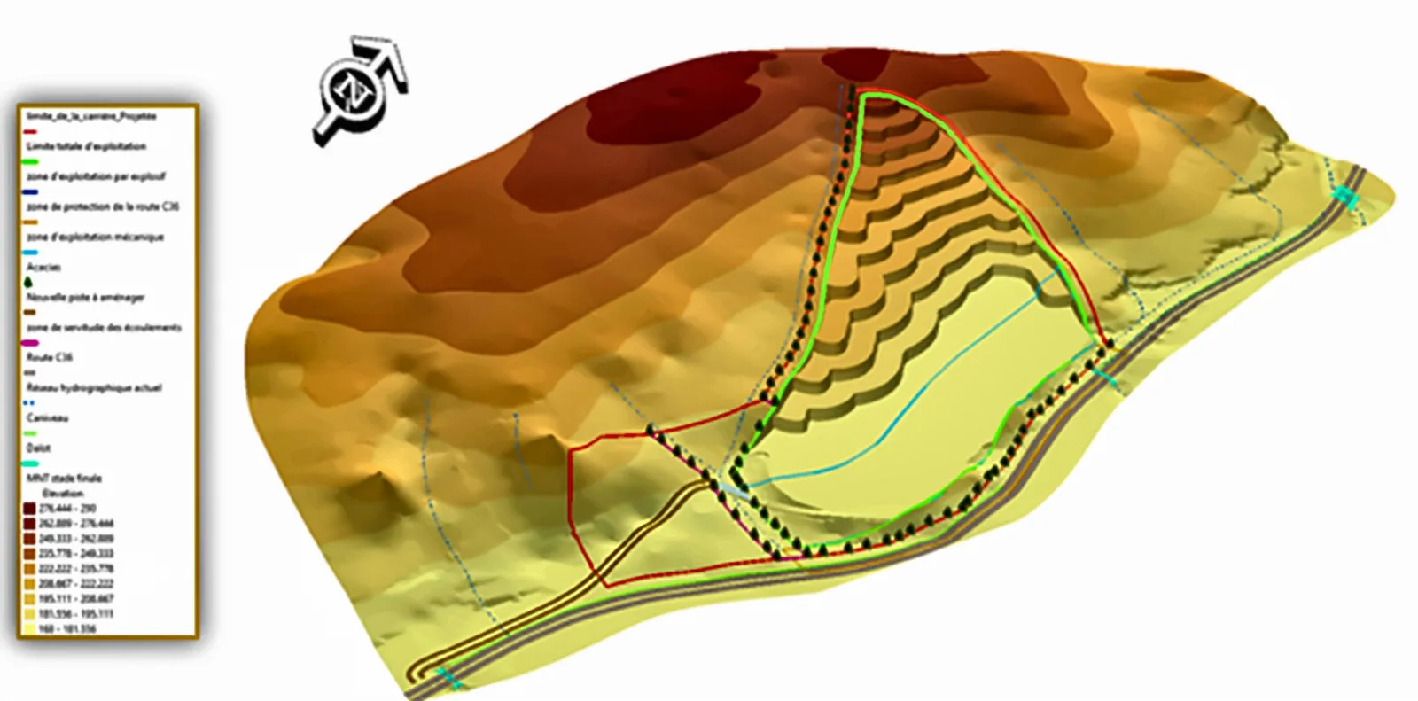
Our team of experts is proficient in these technologies to meet the specific needs of each project effectively. We continually update our skills and incorporate the latest technical advances and state-of-the-art GIS systems.
Our main services include:
- 01Digitisation and vectorisation of plans (urban, geological data, etc.)
- 02Design and modelling of geographic databases
- 03Creation of base maps (raster and vector)
- 04Field surveys and collection of geolocated data
- 05Production of cartographic documents and digital mapping
- 06Digital restitution at various scales
- 07Georeferencing of maps, plans and satellite imagery
- 08Production of Digital Terrain Models (MNT)
- 09Preparation of accurate, customised thematic maps
Through this methodical approach and the use of advanced tools, « BUT Géologie » supports its clients at every stage of geospatial management and analysis, ensuring the reliability and quality of cartographic data.