[presto_player id=5311] |
“BUT Géologie” offers a wide range of expertise and services, as well as a wide range of computing tools in geographic information systems (GIS): ArcGis, Global-Mapper, QGIS, GvSIG, Envi…

Our experts master a multitude of tools and GIS systems to serve our customers.
We act in a methodical way to update our skills and knowledge by integrating the latest techniques and systems.
- Digitisation and vectorisation of plans (urban data, geological data, etc.)
- Production of the map base (raster and vector)
- Design and modeling of geographic databases
- Field survey
- Production of cartographic documents and creation of geolocated data.
- Digital cartography.
- Digital rendering at different scales.
- Georeferencing of maps, plans, satellite images, etc.
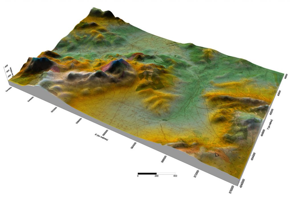
- Production of Digital Terrain Models (MDT).
- Thematic cartography.


